






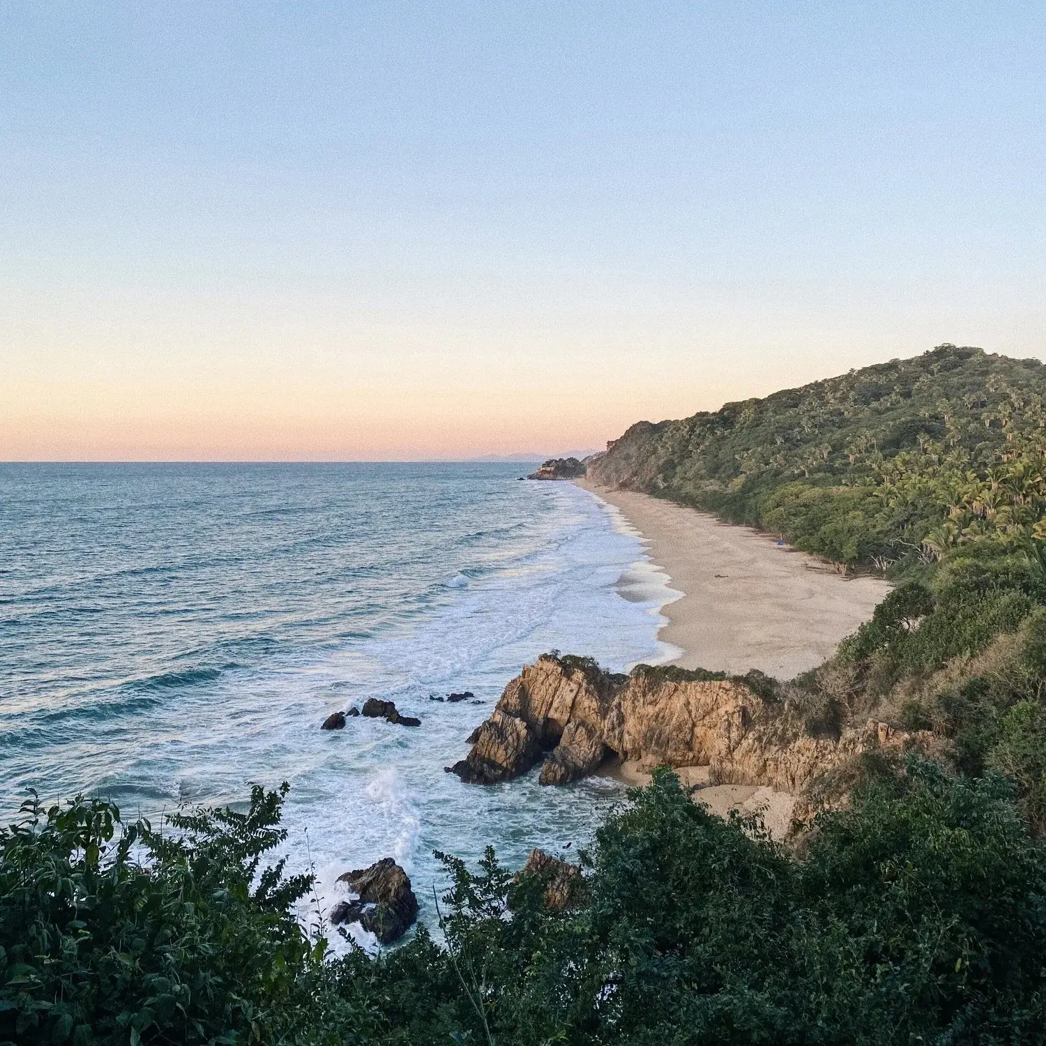
Sayulita sits in a fold of green hills, and you don't have to go far to be in the jungle. Some walks start at the end of a street: the cemetery path to Los Muertos, the steep lanes to the lookouts. Others need a ride, a guide or an early alarm, like the climb up Monkey Mountain, the highest point above the bay.
The rules are the same for all of them: go early, carry more water than you think, and be back before dark. This guide goes from the big climb to the short walks, with what changed on the paths in 2025 and who to go with.
Monkey Mountain, Cerro del Mono
The usual way up starts in Higuera Blanca, a village about 20 minutes' drive south of Sayulita. From the edge of the village a dirt road turns into a trail that climbs steadily through the forest, then steeply near the top, to a rocky summit about 320 metres above the sea. From there you see the whole bay: Sayulita's beach, the Punta de Mita peninsula and the Marietas offshore. Allow about three hours there and back, including time at the top.
There are longer, harder ways. A northern route from the Patzcuaro road south of town is steep, with rock, roots and boulders, and crosses ranch land; a full loop from Sayulita itself takes most of a day and is hard to follow. For either of those, go with a guide. Local guides describe the mountain as sacred to the Wixárika people, so leave any offerings you come across as you found them.
Much of the path is shaded by trees, but the summit isn't, and there is no water anywhere on the trail. In the warmer months start half an hour before sunrise with a headlamp, or go late and come down in the last of the light. Arrange your ride back before you set off: there's no taxi stand in Higuera Blanca.
- 6.9 km
- there and back from Higuera Blanca
- 270 m
- of climbing on the way up
- 3 L
- of water each, at least
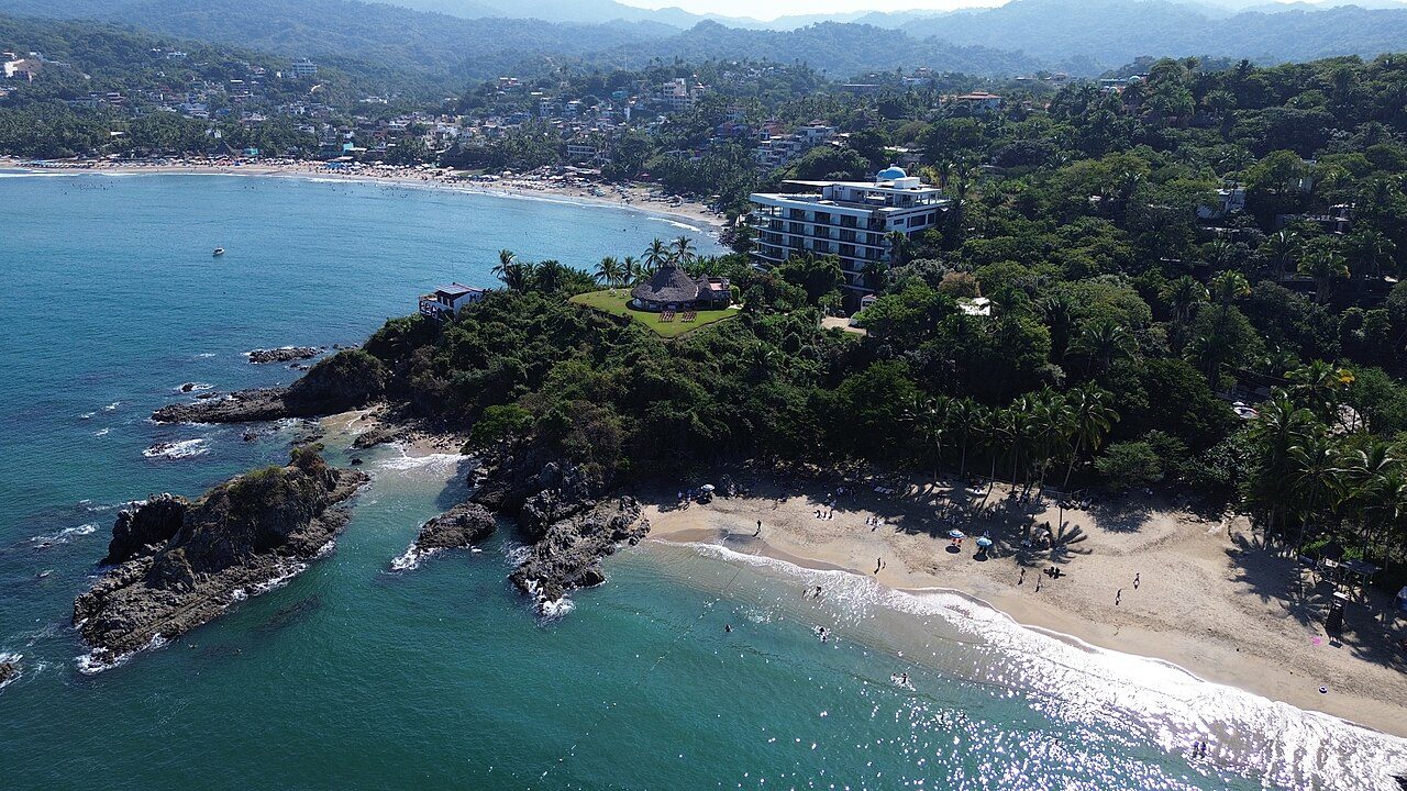

EcoHike Sayulita - Hiking & Biking Tours
Guided Monkey Mountain climbs from Sayulita, with transport, a bilingual guide and binoculars; rain can move dates from August to October.
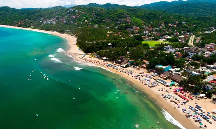
WildMex Surf School & Adventure Center
Private guided climbs by the Higuera Blanca road or the steeper north route, plus a sunset hike.
The cemetery path to Los Muertos, and on to Carricitos
The best short walk in town ends in a swim. Head south from the plaza and either follow the beach road past the hotels, about 15 minutes, or take the steeper streets through town, about 20. Both end at the town cemetery, where a decorated arch leads you between painted graves under the trees and down a dirt lane to Playa los Muertos, the calm cove the cemetery is named for.
In June 2025 the municipal, state and federal governments knocked down a 35-metre wall that had been built without permits on the federal beach strip beside that lane, and the cleared ground is meant to become a public walkway and lookout. Walkers use the lane as they always have.
If you want more, keep going. Past Los Muertos a paved path climbs into the jungle and drops to Carricitos, a long, wild beach that's often nearly empty; from the plaza it's about 40 minutes in all. There are no services, the surf is heavy and the beach is isolated, so go with company, swim only close in on a small day if at all, and walk back in daylight.
The best short walk in town goes through the graveyard and ends in the sea.
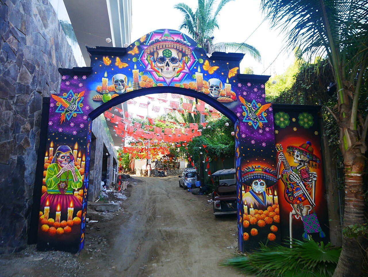
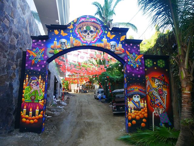
Los Muertos Cemetery, Sayulita
The painted hillside cemetery you walk through on the way down to the cove.
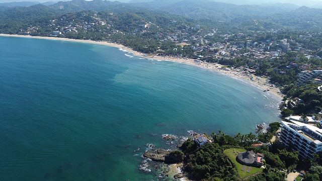
Playa los Muertos
The sheltered cove at the end of the path, the calmest swim near town.
Playa Carricitos
A long, quiet beach over the next hill: for a walk and a picnic, not a swim.
Malpaso and Las Cuevas: how to get there now
North of town, past the end of North Beach, are two of the loveliest beaches on this coast: Malpaso, a long empty sweep between Sayulita and San Pancho, and Las Cuevas, a small cove framed by cliffs and caves. For a century people walked there on an old jungle path. In May 2025 a hotel development behind the beach closed it, and after a community march the municipality, the state, the developers and local groups agreed that public access to the sea would be kept and the old path protected as an ecological trail.
The trail stays closed while construction goes on, and we found no official word in 2026 that it has reopened. Today most people walk along the shore from the north end at low tide, which is the most reliable way. There's also an inland way from the end of Avenida del Palmar, past the river and the campsites to a construction gate, with a small sign for the beach on the left just before it; the path soon forks, left for Las Cuevas and right for Malpaso. Walkers report changes from month to month, so ask locally before you go.
A rock passage joins the two beaches, and it's only safe at low tide. Both face the open ocean with rips and a hard shore break: come to walk, look and sit, not to swim.
Playa Malpaso
The long, undeveloped beach between Sayulita and San Pancho.
Playa Las Cuevas
A cliff-framed cove beside Malpaso; time it for low tide.
Lookouts above town
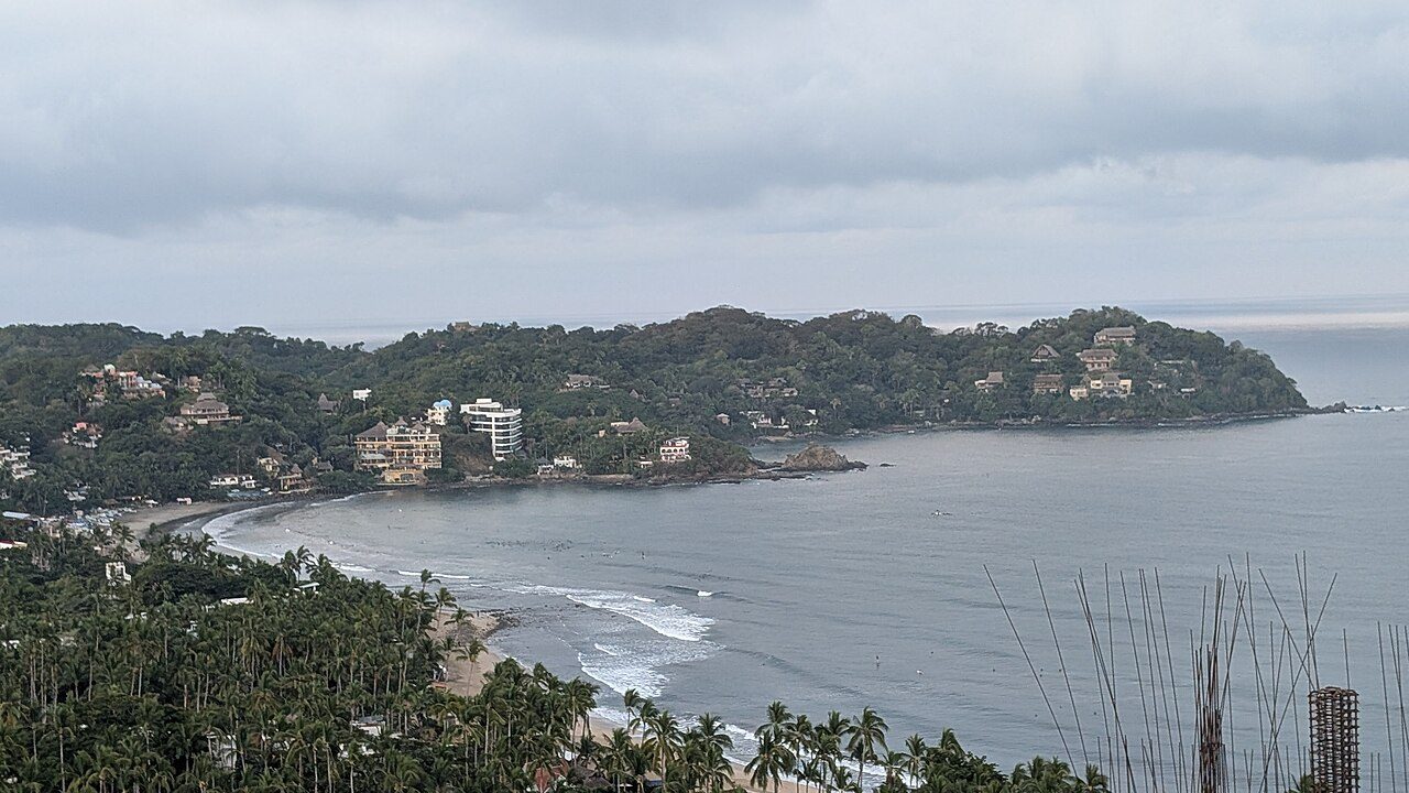
Sayulita's streets climb steeply on three sides, and a short, sweaty walk up any of them buys you a view. The quickest are on the south side, up the lanes and stairs behind the Villa Amor end of the bay and along the Niños Héroes road, about 15 to 20 minutes from the plaza. Gringo Hill, up Calle Marlín, looks over the rooftops to the beach.
The hardest and the best is the Nanzal hill on the north side, reached from Avenida del Palmar; locals rate it the finest sunset view in town. Take water, go up while it's still light, and bring a torch for the walk down.
Go with a guide: walks, birds and night creatures
A good guide turns a hot walk into a lesson in the forest: which tree is which, where the motmots nest, what made that track. Several small outfits run walks from Sayulita, from an easy morning loop that ends at a quiet beach to night walks for the frogs, insects and scorpions that come out after dark.
Natikari, a private reserve a short drive out of town, has biologist-led walks in pesos: a four-hour jungle hike was 800, a beginners' birding walk 900 and a night walk 1,400 in 2026. Vidal Prado, who has led birding tours here since 2008, runs a two-to-three-hour local outing from 7:30am at 1,300 pesos a person, for two or more.
EcoHike Sayulita - Hiking & Biking Tours
An easy morning loop to a quiet beach, night walks and forest walks, as well as Monkey Mountain.
Natikari - Rancho Verde
Biologist-led jungle hikes, beginners' birding and a night walk on a private reserve.
Sayulita Bird Watching
Early-morning birding near town with a guide who has led tours since 2008.
Heat, light and staying safe
Heat is the real danger here, more than anything that bites. From about 10am the sun and humidity build fast, so start by eight, or earlier in summer. Carry three litres of water a person for a long walk, a first-aid kit, repellent and a headlamp, tell someone where you're going and when you'll be back, and give snakes and scorpions room.
Mosquitoes are worst in the rainy season and bite by day. Dengue is present in Nayarit: the state had 72 confirmed cases by late June 2026, most of them around Tepic. Use repellent and cover up. In the rains the trails turn to mud and some guided hikes move dates; in April and May bees are more active, so if you're allergic, say so when you book.
Dry season, November to May
- The best time for every walk here
- Sunrise around 7am to 7:40am, sunset from about 6:20pm
- Start by 8am; the clearest views from January to May
- Dusty trails, little shade on the summits
Wet season, June to October
- Green and lush, but hot, humid and muddy
- Sunrise around 6:20am to 6:50am, sunset as late as 7:45pm
- Start before sunrise; storms usually come later in the day
- Some guided hikes run mornings only or change dates for rain
Questions people ask
How long is the Monkey Mountain hike?
From Higuera Blanca it's about 6.9 km there and back with about 270 m of climbing; allow around three hours. The routes from Sayulita itself are much longer and best done with a guide.
Can you walk from Sayulita to Malpaso?
Yes, along the shore from the north end of town at low tide, which is the most reliable way in 2026. The old jungle path was closed for hotel construction in 2025; ask locally whether the inland route is passable.
How do you walk to Playa los Muertos?
Head south from the plaza along the beach road (about 15 minutes) or over the hill through town (about 20), then through the cemetery and down the lane to the cove.
Do I need a guide to hike in Sayulita?
Not for the town walks, Los Muertos or the lookouts. For Monkey Mountain from anywhere but Higuera Blanca, and for jungle trails you don't know, a guide is wise.
What's the best time of day to hike?
Early: start by 8am, or before sunrise in the summer months, and be off the trail before dark.
Written by sayulita.co from our own research, checked against 17 sources. Nothing here is paid for. Photos: ; ; Luisalvaz (CC0) (CC0); . See something out of date? Tell us.